From Wires Magazine:
Ten years ago on March 1, the European Space Agency launched an 8-ton satellite called Envisat that would deliver back to Earth some of the most beautiful images of our planet taken from space.
Since then, Envisat has orbited Earth more than 50,000 times and has lived twice as long as planned. [Wired]
Satellite Images
Here are my favorite images from this collection. Click the images to view more.

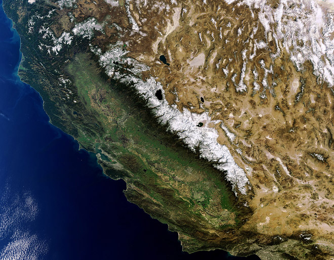
Obviously this one is my favorite, cause it’s a picture of my home. I live in Reno, Nevada, which is very near the big lake surrounded by snowy mountains in the center of the image. The other big lakes are Mono Lake to the south, east of the mountains and Pyramid Lake, to the north. Both Pyramid and Mono Lakes are salty lakes.

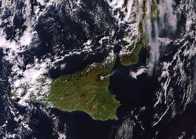
Volcanoes are cool. Mt. Etna is the tallest active volcano in Europe. It is a stratovolcano and lives in the Mediterranean Sea on the Italian island of Sicily.

The amazing thing about this image, is that one of the smallest animals in the ocean, can still be seen from space. This is because though the individuals are very small, they occur in such large numbers that the whole population is very very large.

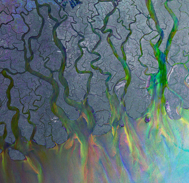
The Ganges is one of the largest rivers in the world. It also is one of the most used, with over 400 million people residing in it’s basin. That population impacts the river making it one of the most polluted waterways in the world as well.
This is the Delta of the Ganges River. A Delta is the place where a river meets the sea. Deltas have very low slope so rivers slow down, spread out and meander, or wind around in big loops.
Envisat
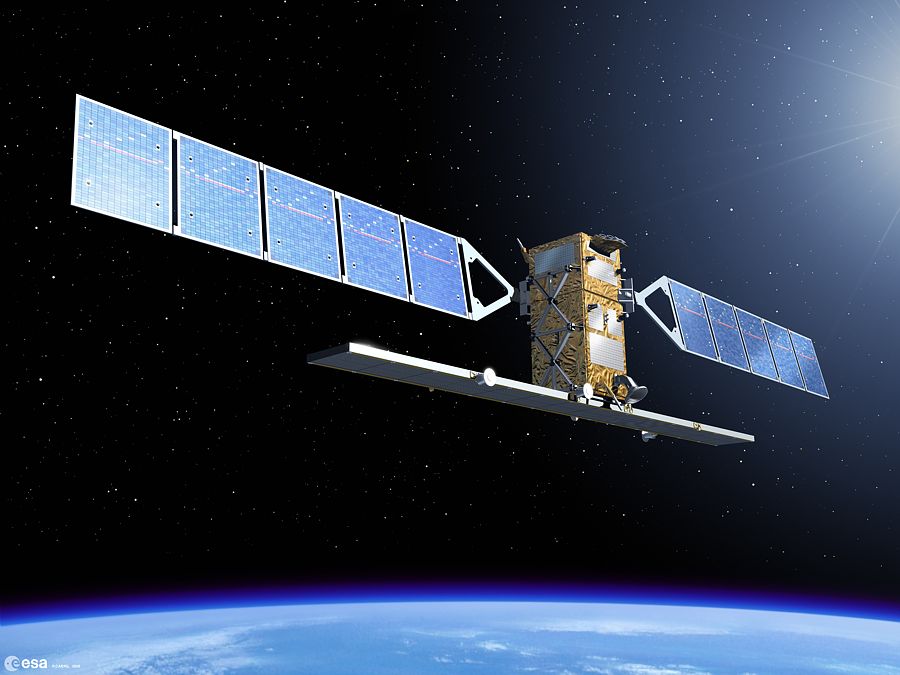
Envisat is the largest Earth observing space craft ever built. It is operated by the European Space Agency.
Launched in 2002, Envisat is the largest Earth Observation spacecraft ever built. It carries ten sophisticated optical and radar instruments to provide continuous observation and monitoring of the Earth’s land, atmosphere, oceans and ice caps. Envisat data collectively provide a wealth of information on the workings of the Earth system, including insights into factors contributing to climate change. [ESA]
For more amazing images from Envisat, check the Envisat gallery on the ESA website.
-Mike
Sources:
- Wikipedia: Etna, Ganges
- Wired Magazine
- ESA


[…] water vapor and the interaction of water and land and humans. My favorites are the ones that show volcanic eruption clouds of ash and smoke! One of the stars of NASA’s fleet of satellites is Aqua. The satellite is named for its […]