The double dashed line on United States Forest Service maps denotes an “Unimproved Road.” On the ground and particularly on the map they can be faint and hard to pick out from the background, but they almost always lead some place interesting, an eventful drive, or just a nice place to have lunch. Lightning Dragon and I were on our way home from a bike race a few years ago following just such a road through Dog Valley, California on the east slope of Crystal Peak. We weren’t looking for anything in particular more than better scenery than the shoulder of Interstate 80.
That’s when we found a sign for the Crystal Mine. We’d come out from one of the numerous unimproved roads onto Dog Valley Road at Lookout Campground. We parked and headed up the hill to the mine.
Lookout Campground
Lookout Campground is labeled on the map and located just below The Crystal Mine at 6700 feet elevation. It has vault toilets and 22 campsites. We haven’t ever camped there, though we would like to at some point. It would be a good basecamp for several adventures to be had in Dog Valley, so look for a video and blog post about that come spring.
The Crystal Mine
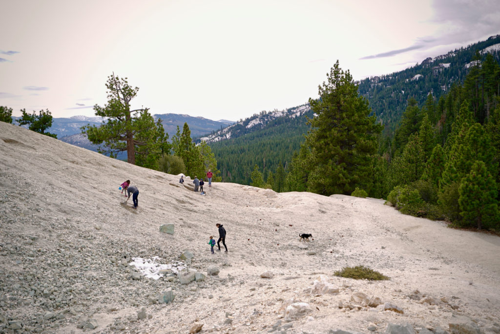
It’s a short hike up the hill to the Crystal Mine from the camp ground, though the first time we visited, Rocket was not mobile so I had to cary him the whole way. No matter, because we soon found that a few hundred meters past the campground is an access road up to the tailings pile with plenty of parking.
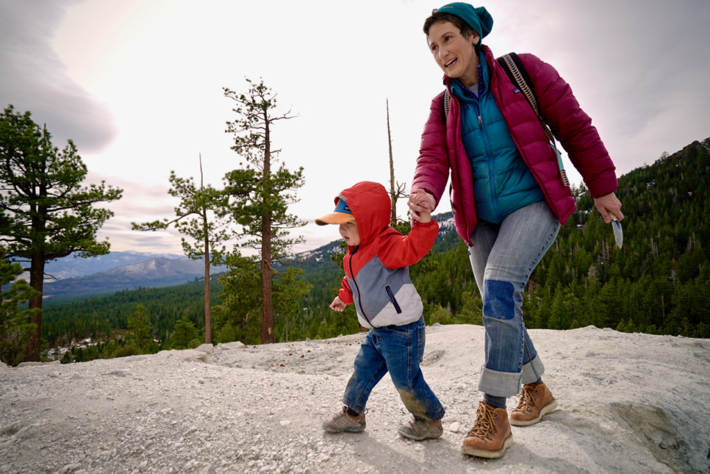
When it’s warm the place is pretty busy with casual tourists and trail riders poking around for the small crystals and shards of quartz that can be found there.
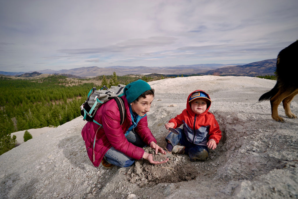
The mine was blasted during World War 2 to expose quartz crystals for use in radios. My brother-in-law David says he has found large crystals there in the past. The small ones are fairly easy to find if you scrape away the loose material and sift through the debris. Large crystals can be found with some persistence and we’ve seen zealous rockhounds digging deep pits with heavy overhangs in search of treasure.
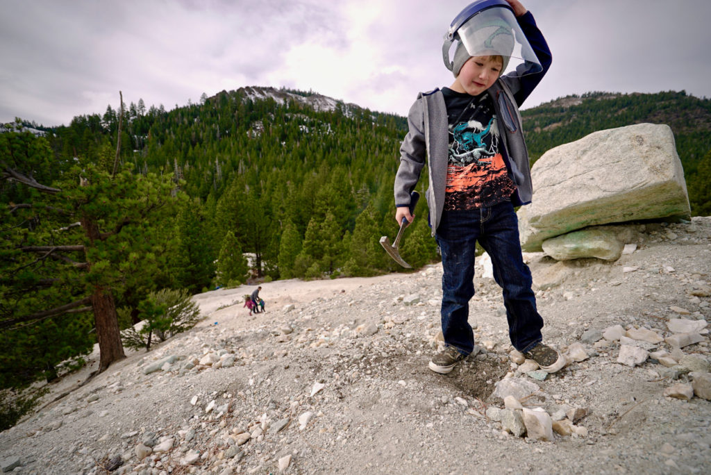
You’re allowed to take one bucket-load of material per week. If you find actual crystals, that’s quite a lot of material and it might take you that long to recover that much. Still, the kids like to dig, and don’t really need anything more than permission to enjoy the activity for a good long while. Long enough to work up an appetite for lunch at least.
Directions to The Crystal Mine
From interstate 80 take the Verdi Exit, either the west or the east exits, then proceed to Bridge Street and head North. After the second bridge turn onto Dog Valley Road. DVR heads up a drainage before it heads back down into Dog Valley at a large OHV parking area. BE CAREFUL WHEN IT’S WET OR ICY. This is a GNARLY section of road under those conditions with devastating consequences for sliding off. If you go up at this fork you are on Henness Pass Road which is the long way to Nevada City. Check out the Full Size Adventure video on the first part of this route below:
From that intersection it’s about 5 miles to the campground and crystal mine. It’s well signed and well traveled and easily passable in any vehicle most of the year.
From the North you can get off US HWY 395 at Bordertown (In the video I say Boomtown, which is on I80. Never trust some talking head in a video. Blog posts are much more reliable.)
Turn south off Exit 83 and proceed to the stop sign. Turn right (northwest) at the stop sign and continue past the Bordertown parking lot to the next stop sign. After stopping, follow the paved road. You will cross over railroad tracks. Continue following the paved road south for about 0.4 miles. Here, the road turns to gravel and then starts to curve to the south paralleling the railroad tracks. You should see a Forest sign where the road forks. Stay to the right and follow the road the Forest boundary in about two miles. – USFS
Resources
- Day Trippin’: Crystal Mine in Dog Valley, CA
- Crystal Peak Mine (Crystal Mine; Quartz Knob occurrence; Unnamed Quartz mine
- Dog Valley, Toiyabie National Forest Carson Ranger District
- Lookout Campground Facility Details
- A crystal clear reason to take this short hike, Nevada Appeal
- Maps and publications
Enjoy The Crystal Mine and I hope you find something cool! The area is quite nice and clean today, so please help keep it so. Thanks for reading and happy trails!
-M





Pretty bad instructions. Took me 45 minutes of trying to trace these on google maps. The direction from Verdi make no mention that past Summit One campground you have to leave Henness Pass Road by taking a right on Long Valley Rd. From Bordertown there is no mention of any road names after exit 83. The instructions should read: Left on Village Pkwy, right on N Virginia St. which becomes Long Valley Rd upon entering California, in about 800 feet turn left across railroad tracks, keep to right about 800 feet later to stay on Long Valley Road. Continue about 10 miles to the Lookout Campground. The crystal mine is about another 1/3rd of a mile past the campgroung.
Better instructions from Verdi
From interstate 80, take the Verdi Exit (¬Bus 80).
From 80 East Proceed to Bridge Street the next RIGHT after Frank’s Automotive Service (or right). It has a rock-front, abandoned building on the left before the intersection.
From 80 West Proceed to Bridge Street, which is the first left turn after Sasquatch Tavern and Grill (on right).
¬¬After the second bridge turn onto Dog Valley Road. At the CA border it becomes Henness Pass Road.
You will pass Males Station Campground on Right and then just after the Summit One parking area take a right on Long Valley Road.
Follow Long Valley Rd past Lookout Campground and turn left to Christal Mine at sign. It is 8.7 miles from the start on Bridge Street to the campground and another ¼ mill or so to Crystal Mine.
Hi, I live in Verdi, I really appreciate the dog valley area. its a great getaway, right in my back yard. I’m still xploring the different roads and the views, al H.