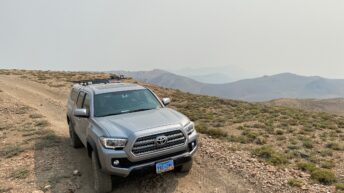
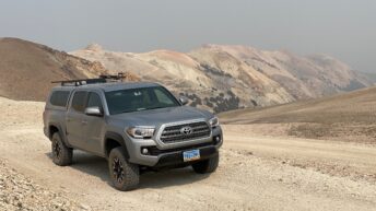
One of the most spectacular mountain roads we’ve driven in recent years feels like a high rocky mountain pass complete with snow patches in summer, amazing vistas of neayby 14,000 foot peaks and deep canyons of colorful rocks. But Mt. Patterson isn’t in the Rocky mountains. It’s not even in the Sierra Nevada. Mt. Patterson with a summit of 11,673 feet above sea level, more than 5,000 feet above the surrounding Sweetwater Flat to the East and Walker River to the West, is the summit of the Sweetwater Range which is right on the border between Nevada and California.
Driving to the top of Mt. Patterson
To learn some more details about the history of the area and his trip there a few years ago, check out the article and photos Harry Wagner wrote for The Dirt.

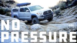
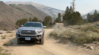
Driving up Mt. Patterson is something you can easily do in a stock 4×4. But be prepared for close pinyon and junipers leaving “desert pinstriping” on your vehicle and rocks that can roll up and ding your undercarriage. Other than that the road is an easy drive in 4 wheel drive, though having low range is definitely beneficial both going up and down. While going up, having low range will let you go slow without your engine or transmission working overtime. On your way down, having low range will keep your vehicle under control and take the load off your brakes.
To start the road, you can approach from the west off US HWY 395 a few miles south of the Sonora Pass road
- Turnoff at Burcham Flat Road
- Drive up this road for 4.28 miles and turn right onto FS Road 067
- Follow that road another 6.8 miles to Lobdell Lake
- Continue around the west side of Lobdell and drop into Desert Creek at the outflow of the lake.
- Turn right onto FS road 115: This is Mt. Patterson Road.
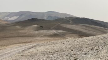
Mt. Patterson road steeply climbs the the lower flanks of Mt. Patterson through ruts and rocky bumps. The road continues to climb and eventually the grade steepens and it becomes a shelf road with a scary drop off and tight switchbacks. After about 5 switchbacks it reaches the broad gravely summit of Mt. Patterson. The summit is marked with a maintained Star Spangled Banner where you can stop and enjoy spectacular views in every direction.
Getting down from Mt. Patterson
Many visitors head back down the way they came and back to HWY 395. Lobdell Lake is a great place to camp for the night even if there isn’t any water in it. There hasn’t been much water there for the past few years. But if you’re still up for adventure, you can head down the East side of Mt. Patterson. This road has many steep switchbacks and amazing views of Ferris Canyon as you go.
After dropping a bunch of altitude off the main summit to Frying Pan Canyon, the FS Road 198 heads back up hill through more tight switchbacks to the old mining camp of Belfort at Boulder Flat. Here there are several derelict structures as well as good places to camp. There’s a promontory where you can view East towards the Pine Grove Hills and the Great Basin of Nevada. Road 198 heads immediately down from there, but if you continue on North on 198j you can skirt around high in Ferris Canyon to a mining area where Drill Hole, Adits and Prospects are marked on the map, even if the road isn’t. This is an out and back with a sketchy 99 point turnabout to get home. But the views and creepy mining tunnels are worth it.
Heading down road 198 you end up in Sweetwater Creek Valley and can take HWY 338 north to Wellington, NV or South to Bridgeport, CA.
Sweetwater Mountains
Don’t let Mt. Patterson be the only place you go in the Sweetwater mountains! We’ve been driving past this amazing place for 20 years and only recently discovered how rad it is. There are roads and mining relics all over the place here.
Happy Trails,
-M












Add comment